UPDATE: Severe weather is currently impacting New Orleans and surrounding areas, with the National Weather Service (NWS) issuing urgent tornado watches and flash flood warnings today, September 24, 2023. Residents are urged to take immediate precautions as thunderstorms unleash heavy rainfall, raising concerns about possible tornadoes and dangerous flooding conditions.
As of this morning, forecasts predict thunderstorms will deliver between 0.5 and 0.75 inches of additional rainfall. A tornado watch is in effect until noon CDT for nine parishes in Southeast Louisiana, including Jefferson, Orleans, and St. Tammany, and five parishes in Southern Mississippi, notably Hancock and Harrison.
The NWS also warns of strong thunderstorms capable of generating funnel clouds and wind gusts exceeding 40 mph. These storms are moving northeast at 35 mph, impacting areas like Chalmette, Marrero, and sections of Interstate 10.
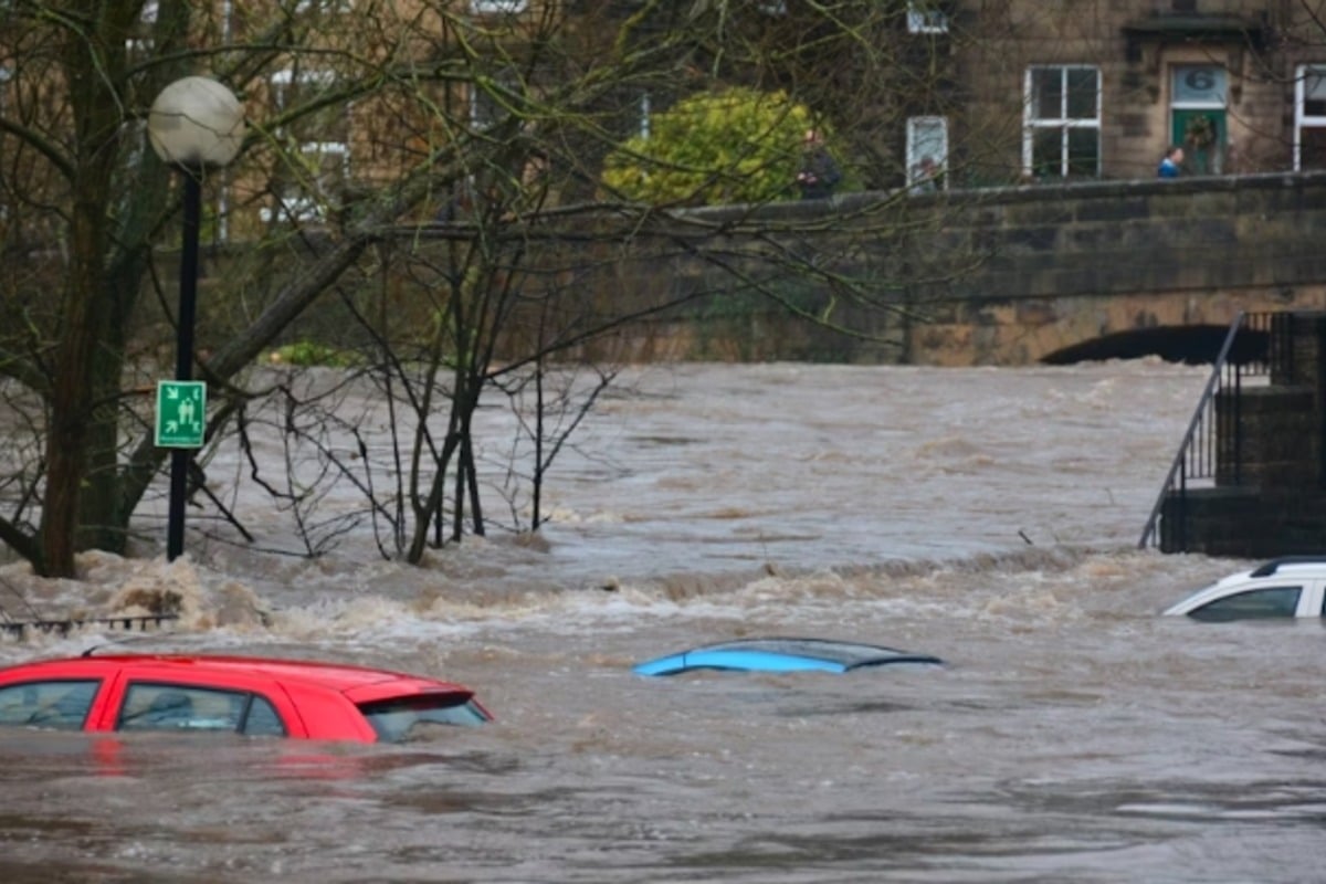
Flash flooding is already reported in urban areas and small waterways, leading to hazardous conditions. Motorists are advised to avoid flooded roads, as the NWS highlights the likelihood of street and highway inundation. A broader flood warning will remain in effect until 10 a.m. CDT, indicating the risk of overflowing rivers and drainage systems.
Moreover, a Flood Advisory is active, warning residents of potential minor flooding in low-lying and poorly drained areas, with an additional 1 to 2 inches of rain possible. Authorities stress the importance of exercising caution as flood risks persist throughout the New Orleans area and surrounding communities.
Stay alert as conditions are rapidly evolving. The NWS continues to monitor the situation closely and will provide updates as new information becomes available. Share this crucial information with family and friends to keep everyone safe during this severe weather event.