UPDATE: The Bay Area is finally set to transition to dry weather after a prolonged period of rain, but not without one last bout of scattered showers. National Weather Service (NWS) meteorologist Joe Merchant confirmed that while the region will eventually dry out, the exit of the storm system has been slower than expected.
As of Tuesday, January 9, 2024, light showers continue to linger across the Bay Area, with central San Rafael experiencing up to 1.75 inches of rain and areas in Santa Cruz County receiving 1.67 inches. San Francisco recorded an inch, while Oakland saw 0.75 inches. San Jose received 0.33 inches, and Livermore and Concord had just over 0.10 inches.
The NWS had anticipated only a few moderate showers to wrap up the wet weather by Monday night, but unexpected storm dynamics shifted the rain patterns, resulting in heavier downpours across the region. “The dynamics that drove a lot of what happened on Monday were expected to be a lot farther south than they actually were,” Merchant explained.
Residents can expect a few more light showers throughout Tuesday, particularly near Monterey and San Francisco. “These will be pockets of really light rain,” Merchant added, “Then we’re finally going to get into some dryer air.”
The forecast indicates a significant shift to dry conditions lasting at least a week, with temperatures dropping sharply. Overnight lows are projected to fall into the 30s, and daytime highs are not likely to exceed the 50s.
Additionally, the recent king tides that coincided with the storm surge have receded to normal levels, but beaches will remain hazardous, with breaking waves expected to reach up to 20 feet on Thursday and Friday.
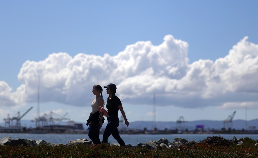
As the Bay Area prepares for this transition, residents are advised to stay alert for rapidly changing weather conditions and to exercise caution near coastal areas. The dry weather is a welcome relief after weeks of relentless rainfall, but safety remains a priority as the region adapts to the shifting climate patterns.
Stay tuned for more updates as the situation evolves.