UPDATE: Seattle is bracing for potentially severe flooding as the National Weather Service (NWS) warns of a strong atmospheric river set to hit the region from Friday, October 13, 2023, through Saturday night. The forecast predicts 2 to 4 inches of rain, with isolated areas receiving over 5 inches, particularly impacting the Olympic Peninsula and parts of the Washington Cascades.
Residents in Mason, Jefferson, Clallam, Whatcom, Skagit, Snohomish, and King counties are urged to remain vigilant as the Skokomish River is expected to reach minor flood stage by Saturday. With rivers forecasted to reach action stage, the NWS emphasizes the need for preparedness in these areas.
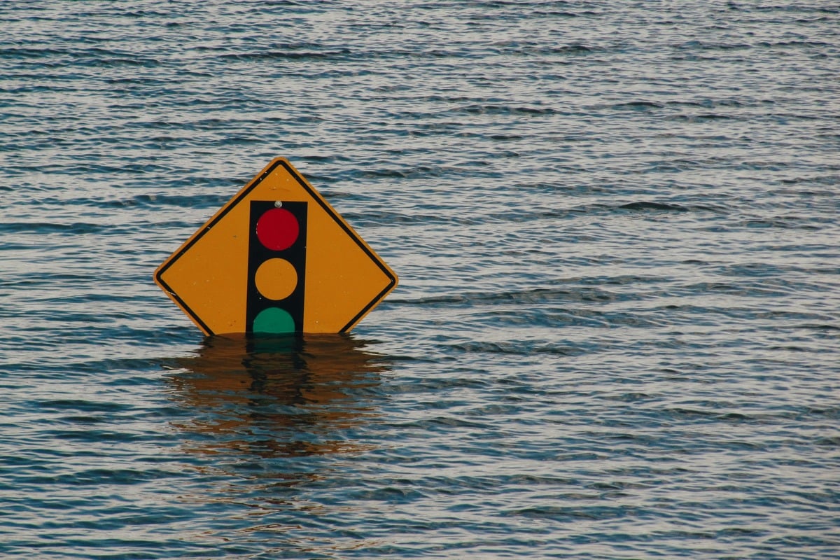
The NWS report highlights the potential for flash flooding, especially in regions with recent burn scars, further complicating emergency response efforts already stretched thin. Urban areas, already saturated from previous rains, may experience nuisance flooding, leading to additional hazards for residents. The NWS advises clearing storm drains of debris to mitigate water accumulation.
As of early Friday, Seattle’s weather shows a brisk 45°F with high humidity at 87%. Winds are calm at 6 MPH, but conditions are expected to deteriorate as rain intensifies post-2 PM. The city is projected to reach a high of 56°F later today.
Looking ahead, the NWS forecasts a 100% chance of rain tonight with lows around 51°F and winds gusting up to 32 MPH. An additional 0.5 to 0.75 inches of rain is possible, signaling an urgent need for residents to stay informed and prepared for adverse conditions.
The impending storm serves as a stark reminder of the unpredictable nature of autumn in the Pacific Northwest. Residents are encouraged to monitor river forecasts and develop contingency plans as the situation unfolds.
In this time of potential crisis, the community must come together to ensure safety and preparedness. The NWS continues to provide updates as this developing situation progresses, urging everyone in affected areas to stay alert and heed warnings.